Andes Spine

This location helps explain how high-altitude societies engineered roads, terraces, and resilient habitats.

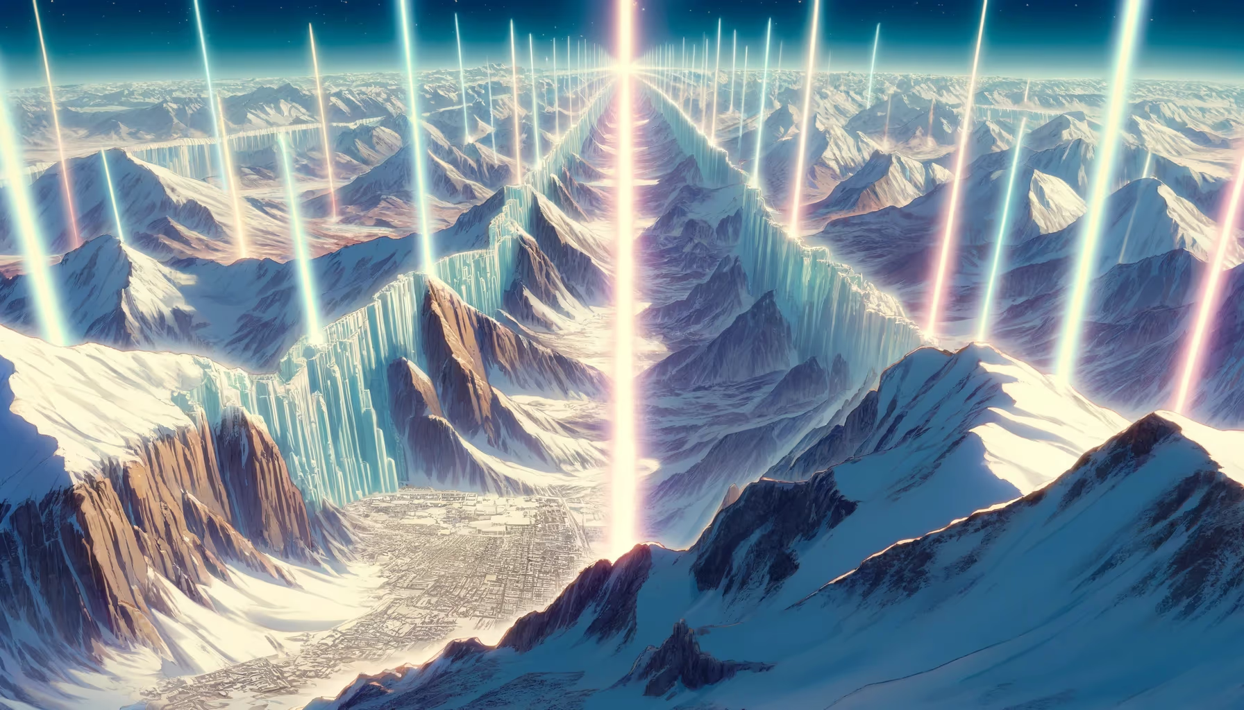
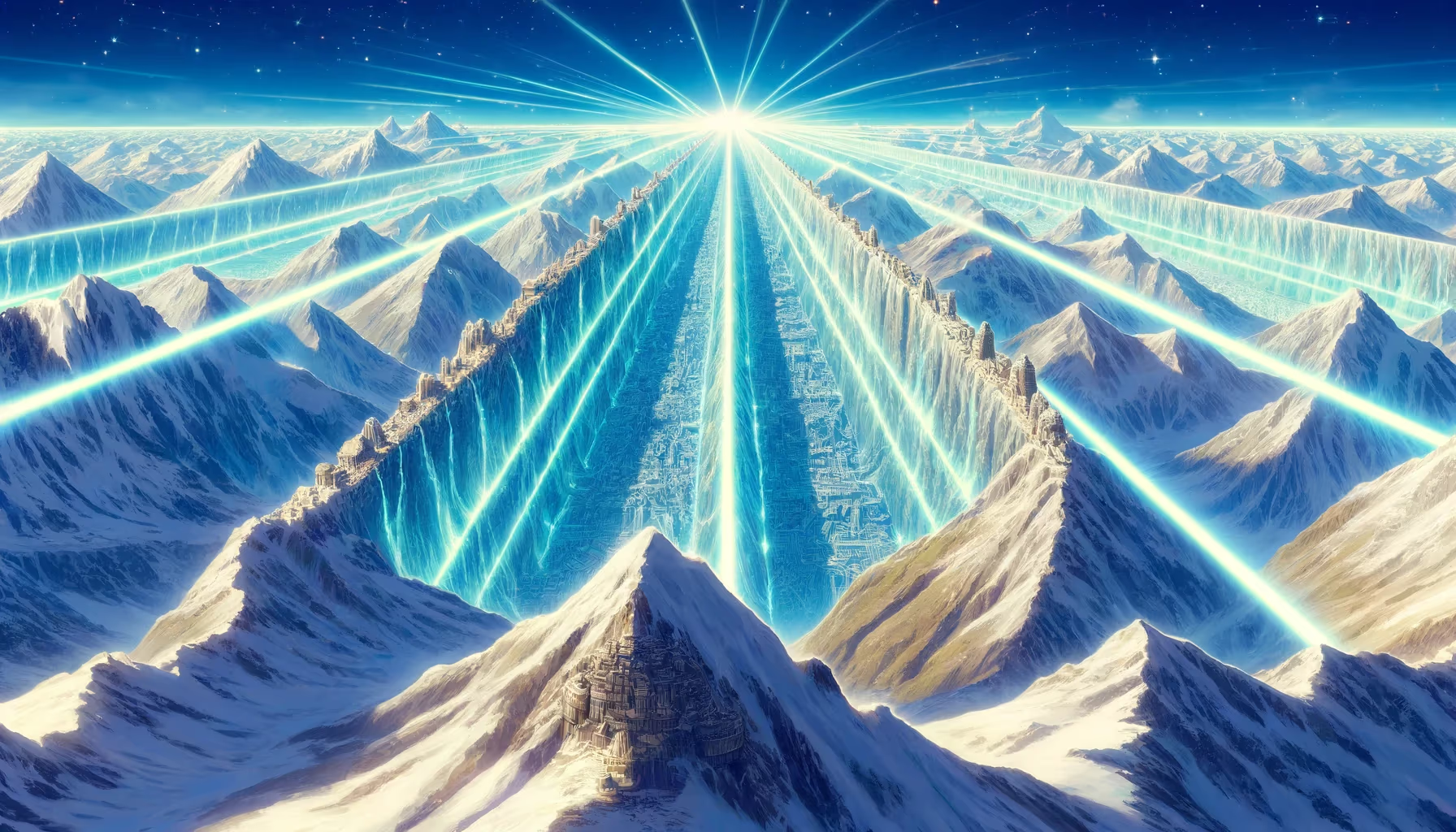
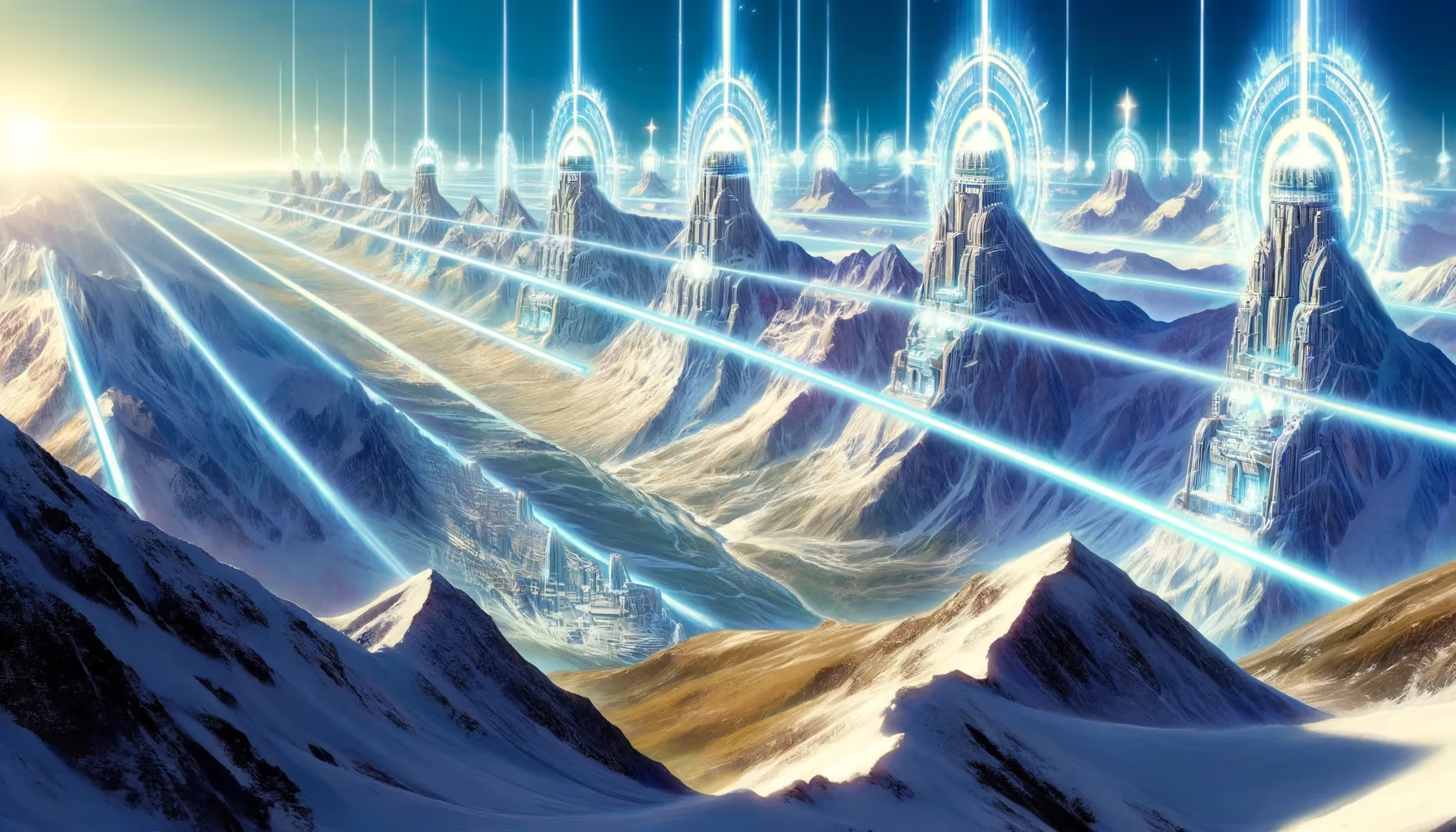
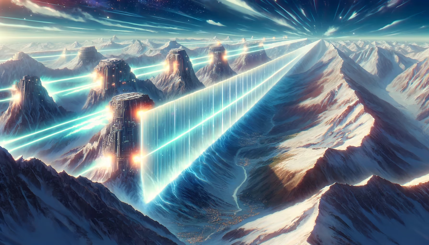
The Andes rise like a living wall, shielding valleys from eastern dragons and teaching every generation how to stand with the wind. In this mission frame, the scene becomes a training ground for courage, memory, and community design. The threshold opens.

Andean Engineering Central Andes Quadrant: Southwest Coordinates: -9.50, -75.90 Altitude: 4100m
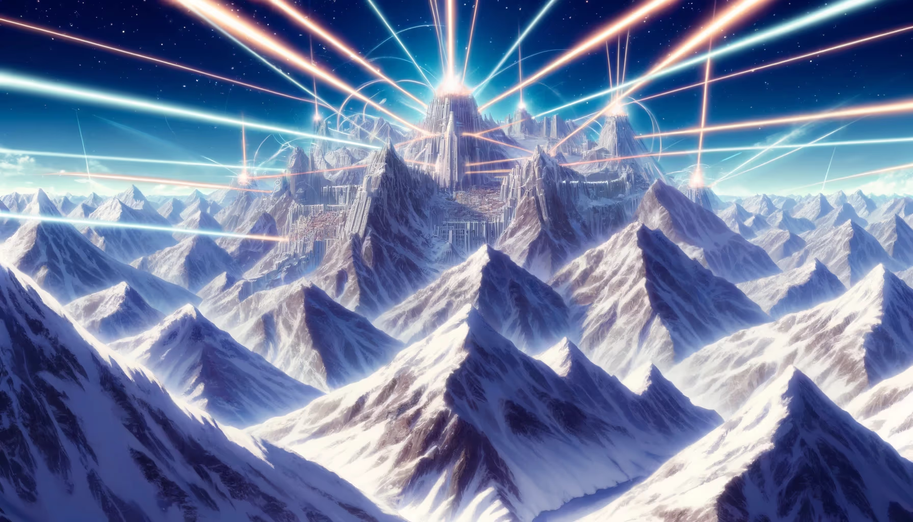
Andes Spine

Site Position in Peru

Use this map to jump into neighboring zones and compare ecological and cultural systems.

ArchaeologyAndean EngineeringSacred LandscapesAmazonian SystemsBiodiversityCosmovision
Qhapaq Nan Corridors River Systems Mountain Bands

Time Lenses

Inka IntegrationLiving Continuity

Biome

High Andean ridges and terrace ecologies

Cultural Focus

  • Road intelligence
  • Terrace hydrology
  • Altitude adaptation

Route Layers

  • Qhapaq Nan Corridors
  • Mountain Bands

Key Moments

  • Inka Integration: Imperial-era integration links roads, administration, and reciprocal labor systems.
  • Living Continuity: Contemporary communities sustain and reinterpret these knowledge systems today.

Use map filters on the atlas index to browse by era, quadrant, and route systems.

Andes Guardian Range 01: Origins Lens for Ancient Peru

In Andean worlds, mountains, lakes, springs, and stone thresholds often function as relational beings, not inert scenery. Sacred geography links movement, obligation, and memory across families and regions.

Phase focus: identify why this place was treated as a threshold or living presence.

The Andes are the longest continental mountain chain on Earth, extending roughly 7,000 km and structuring water, climate, and settlement from north to south.

For ancient Peru, this was an engineering classroom: terrace systems, road design, and vertical exchange economies emerged from reading altitude as strategy.

That is why this page can feel both epic and practical. It invites visitors to read landscape as archive: each route, water source, and high place stores historical decisions about survival and meaning.

Research Sources

Mission Trail (Theme + Proximity)

Nearby Sites

Cinchona Spirit Trees

Cloud Forest Belt

Amazonian Systems Southwest
Great Amazon Basin

Ucayali Headwaters

Amazonian Systems Northeast
Huayllay Stone Forest

Pasco Highlands

Andean Engineering Southwest
Stone Giant Garden

Central Highlands

Andean Engineering Southwest
Glacier Bear Corridor

Cordillera Blanca

Biodiversity Southwest
Mega Cacao Groves

Upper Amazon Farms

Amazonian Systems Southeast

Same Theme Network

Hanan Pacha Agriculture

Moray and Sacred Terraces

Andean Engineering Southeast
Huayllay Stone Forest

Pasco Highlands

Andean Engineering Southwest
Salkantay Mountain

Cusco High Andes

Andean Engineering Southeast
Stone Giant Garden

Central Highlands

Andean Engineering Southwest

Related Atlas Nodes

Huayllay Stone Forest

Pasco Highlands

Andean Engineering Southwest
Stone Giant Garden

Central Highlands

Andean Engineering Southwest
Hanan Pacha Agriculture

Moray and Sacred Terraces

Andean Engineering Southeast
Salkantay Mountain

Cusco High Andes

Andean Engineering Southeast
Glacier Bear Corridor

Cordillera Blanca

Biodiversity Southwest
Cinchona Spirit Trees

Cloud Forest Belt

Amazonian Systems Southwest