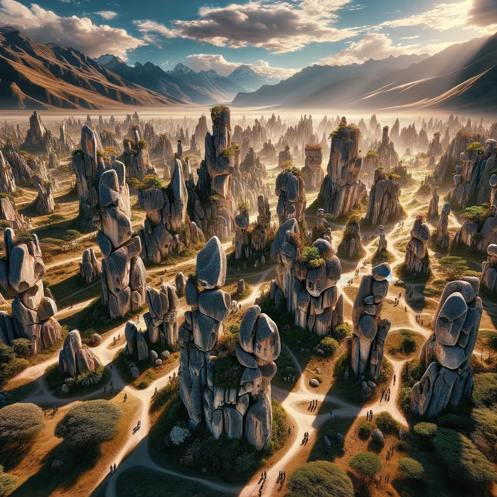
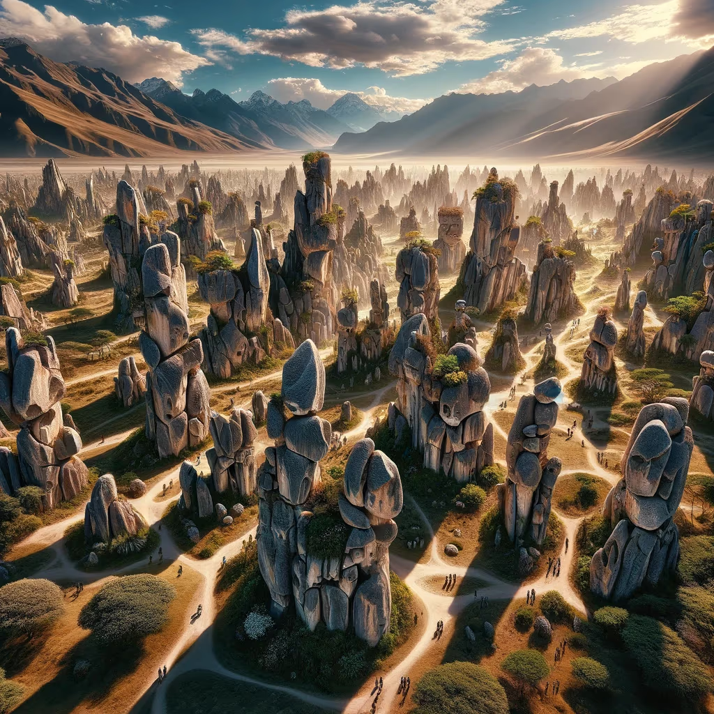
Huayllay Stone Forest

This location helps explain how high-altitude societies engineered roads, terraces, and resilient habitats.

These stone giants stand as frozen prayers to wind and thunder. This chapter asks visitors to explore slowly and notice how myth and evidence can reinforce each other. The threshold opens.

Andean Engineering Pasco Highlands Quadrant: Southwest Coordinates: -10.95, -76.40 Altitude: 4310m
Huayllay Stone Forest

Site Position in Peru

Use this map to jump into neighboring zones and compare ecological and cultural systems.

ArchaeologyAndean EngineeringSacred LandscapesAmazonian SystemsBiodiversityCosmovision
Qhapaq Nan Corridors River Systems Mountain Bands

Time Lenses

Inka IntegrationLiving Continuity

Biome

High Andean ridges and terrace ecologies

Cultural Focus

  • Road intelligence
  • Terrace hydrology
  • Altitude adaptation

Route Layers

  • Qhapaq Nan Corridors
  • Mountain Bands

Key Moments

  • Inka Integration: Imperial-era integration links roads, administration, and reciprocal labor systems.
  • Living Continuity: Contemporary communities sustain and reinterpret these knowledge systems today.

Use map filters on the atlas index to browse by era, quadrant, and route systems.

Huayllay Stone Forest 11: Origins Lens for Ancient Peru

In Andean worlds, mountains, lakes, springs, and stone thresholds often function as relational beings, not inert scenery. Sacred geography links movement, obligation, and memory across families and regions.

Phase focus: identify why this place was treated as a threshold or living presence.

The Huayllay Stone Forest contains high-altitude volcanic rock formations sculpted by erosion over long geological timescales.

The site helps teach deep time: landscapes are cultural classrooms where geology, ritual imagination, and route memory meet.

That is why this page can feel both epic and practical. It invites visitors to read landscape as archive: each route, water source, and high place stores historical decisions about survival and meaning.

Research Sources

Mission Trail (Theme + Proximity)

Nearby Sites

Stone Giant Garden

Central Highlands

Andean Engineering Southwest
Caral-Supe Pyramids

Norte Chico

Archaeology Southwest
Cinchona Spirit Trees

Cloud Forest Belt

Amazonian Systems Southwest
Peruvian Hairless Dogs

Lima Cultural Coast

Biodiversity Southwest
Lima West Coast

Lima Metropolitan Coast

Sacred Landscapes Southwest
Andes Spine

Central Andes

Andean Engineering Southwest

Same Theme Network

Andes Spine

Central Andes

Andean Engineering Southwest
Hanan Pacha Agriculture

Moray and Sacred Terraces

Andean Engineering Southeast
Salkantay Mountain

Cusco High Andes

Andean Engineering Southeast
Stone Giant Garden

Central Highlands

Andean Engineering Southwest

Related Atlas Nodes

Andes Spine

Central Andes

Andean Engineering Southwest
Stone Giant Garden

Central Highlands

Andean Engineering Southwest
Hanan Pacha Agriculture

Moray and Sacred Terraces

Andean Engineering Southeast
Salkantay Mountain

Cusco High Andes

Andean Engineering Southeast
Glacier Bear Corridor

Cordillera Blanca

Biodiversity Southwest
Cinchona Spirit Trees

Cloud Forest Belt

Amazonian Systems Southwest