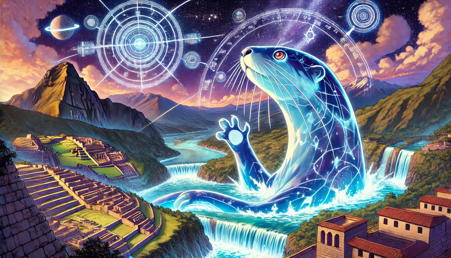
Amazon Rainforest Core

This site can anchor lessons on forest knowledge systems, biodiversity management, and long-range exchange.

This forest is a breathing library. Every canopy level stores medicine, memory, and routes for future guardians. In this mission frame, the scene becomes a training ground for courage, memory, and community design. Rivers set the grammar.

Amazonian Systems Loreto - Ucayali Quadrant: Northeast Coordinates: -4.70, -73.60 Altitude: 130m

Amazon Rainforest Core

Site Position in Peru

Use this map to jump into neighboring zones and compare ecological and cultural systems.

ArchaeologyAndean EngineeringSacred LandscapesAmazonian SystemsBiodiversityCosmovision
Qhapaq Nan Corridors River Systems Mountain Bands

Time Lenses

Pre-Inka FoundationsLiving Continuity

Biome

Rainforest rivers and cloud-forest transitions

Cultural Focus

  • Forest stewardship
  • River navigation
  • Plant knowledge systems

Route Layers

  • River Systems
  • Mountain Bands

Key Moments

  • Pre-Inka Foundations: Early regional societies shape long-term ecological and ceremonial memory.
  • Living Continuity: Contemporary communities sustain and reinterpret these knowledge systems today.

Use map filters on the atlas index to browse by era, quadrant, and route systems.

Peru Amazon Rainforest 01: Origins Lens for Ancient Peru

The Amazon-Andes relationship is one of the deepest engines of South American history. Rivers, foothills, and forest corridors connected medicines, fibers, foods, and symbolic worlds long before modern nation-state borders.

Phase focus: identify basin foundations and river-corridor intelligence.

Peru contains one of the largest portions of Amazon rainforest after Brazil, and its protected areas are central for global biodiversity and climate stability.

In ancient and contemporary Indigenous systems, rainforest life is planned as relationship: agroforestry, river mobility, and medicinal knowledge form one living infrastructure.

For your site, this supports a high-impact lesson: complexity was not accidental. Ancient and Indigenous systems coordinated biodiversity, travel, and ritual knowledge at scales that modern planners are still trying to understand.

Research Sources

Mission Trail (Theme + Proximity)

Nearby Sites

Upano Garden Rivers

Upper Amazon Garden Corridor

Amazonian Systems Northwest
Great Amazon Basin

Ucayali Headwaters

Amazonian Systems Northeast
Gocta Waterfall

Amazonas Region

Sacred Landscapes Northwest
Andes Spine

Central Andes

Andean Engineering Southwest
Glacier Bear Corridor

Cordillera Blanca

Biodiversity Southwest
Cinchona Spirit Trees

Cloud Forest Belt

Amazonian Systems Southwest

Same Theme Network

Cinchona Spirit Trees

Cloud Forest Belt

Amazonian Systems Southwest
Great Amazon Basin

Ucayali Headwaters

Amazonian Systems Northeast
Mega Cacao Groves

Upper Amazon Farms

Amazonian Systems Southeast
Tambopata Reserve

Madre de Dios

Amazonian Systems Southeast
Upano Garden Rivers

Upper Amazon Garden Corridor

Amazonian Systems Northwest

Related Atlas Nodes

Great Amazon Basin

Ucayali Headwaters

Amazonian Systems Northeast
Mega Cacao Groves

Upper Amazon Farms

Amazonian Systems Southeast
Tambopata Reserve

Madre de Dios

Amazonian Systems Southeast
Upano Garden Rivers

Upper Amazon Garden Corridor

Amazonian Systems Northwest
Cinchona Spirit Trees

Cloud Forest Belt

Amazonian Systems Southwest
Ballestas Islands

Paracas Coast

Biodiversity Southwest