Ballestas Islands

Treat this page as a species-and-habitat lens across ancient food systems and conservation futures.

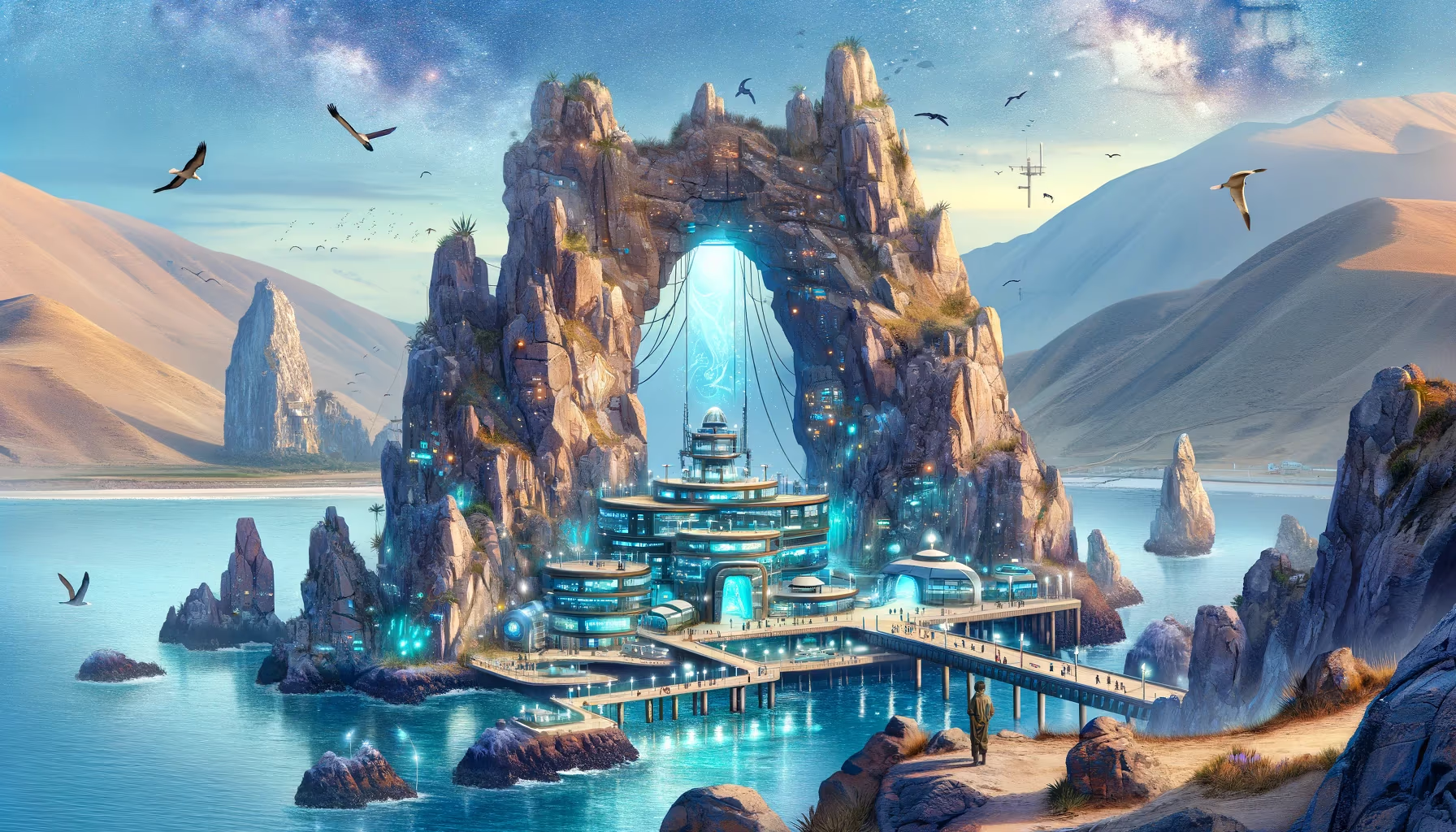
On these sea cliffs, birds write the coast's memory in guano, salt, and wind. Read this panel like a playable codex: movement, landscape, and ritual knowledge are one engine. The edge is read.

Biodiversity Paracas Coast Quadrant: Southwest Coordinates: -13.74, -76.40 Altitude: 20m
Ballestas Islands

Site Position in Peru

Use this map to jump into neighboring zones and compare ecological and cultural systems.

ArchaeologyAndean EngineeringSacred LandscapesAmazonian SystemsBiodiversityCosmovision
Qhapaq Nan Corridors River Systems Mountain Bands

Time Lenses

Pre-Inka FoundationsLiving Continuity

Biome

Species corridors across coast, Andes, and forest edges

Cultural Focus

  • Habitat continuity
  • Species guardianship
  • Climate resilience

Route Layers

  • River Systems
  • Mountain Bands

Key Moments

  • Pre-Inka Foundations: Early regional societies shape long-term ecological and ceremonial memory.
  • Living Continuity: Contemporary communities sustain and reinterpret these knowledge systems today.

Use map filters on the atlas index to browse by era, quadrant, and route systems.

Ballestas Islands 01: Origins Lens for Ancient Peru

Peru's coast is a high-contrast intelligence zone where desert, ocean, wind, and fog interact. Ancient societies developed precise adaptations for mobility, fishing, ritual orientation, and resource timing in this edge environment.

Phase focus: establish core desert-ocean dynamics and scarcity management.

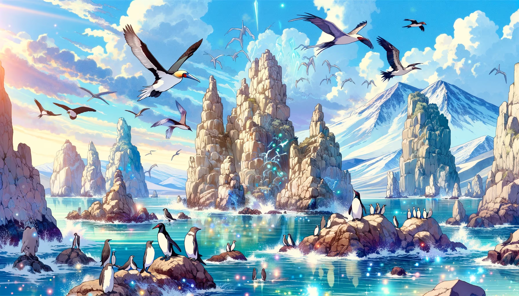
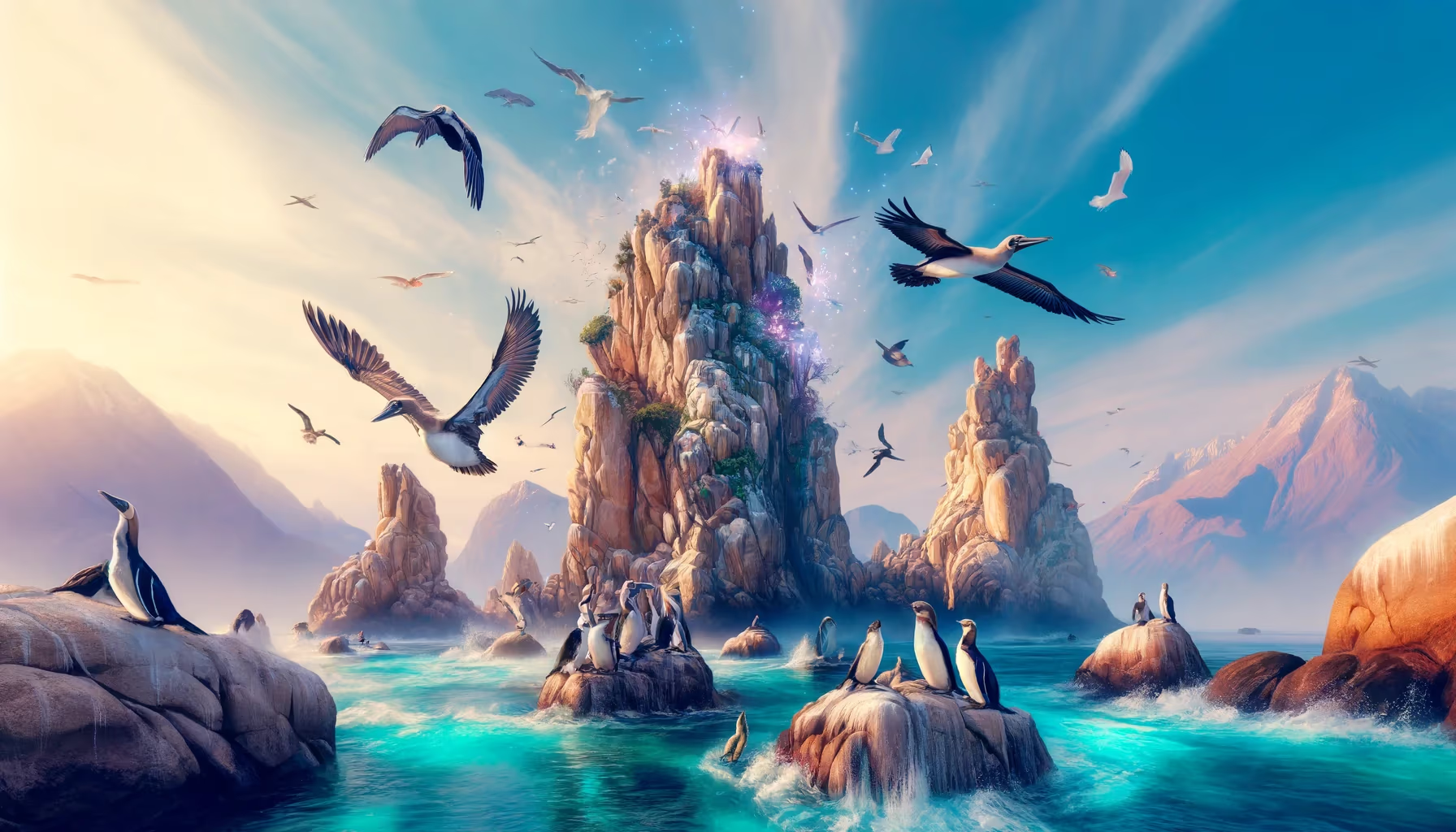
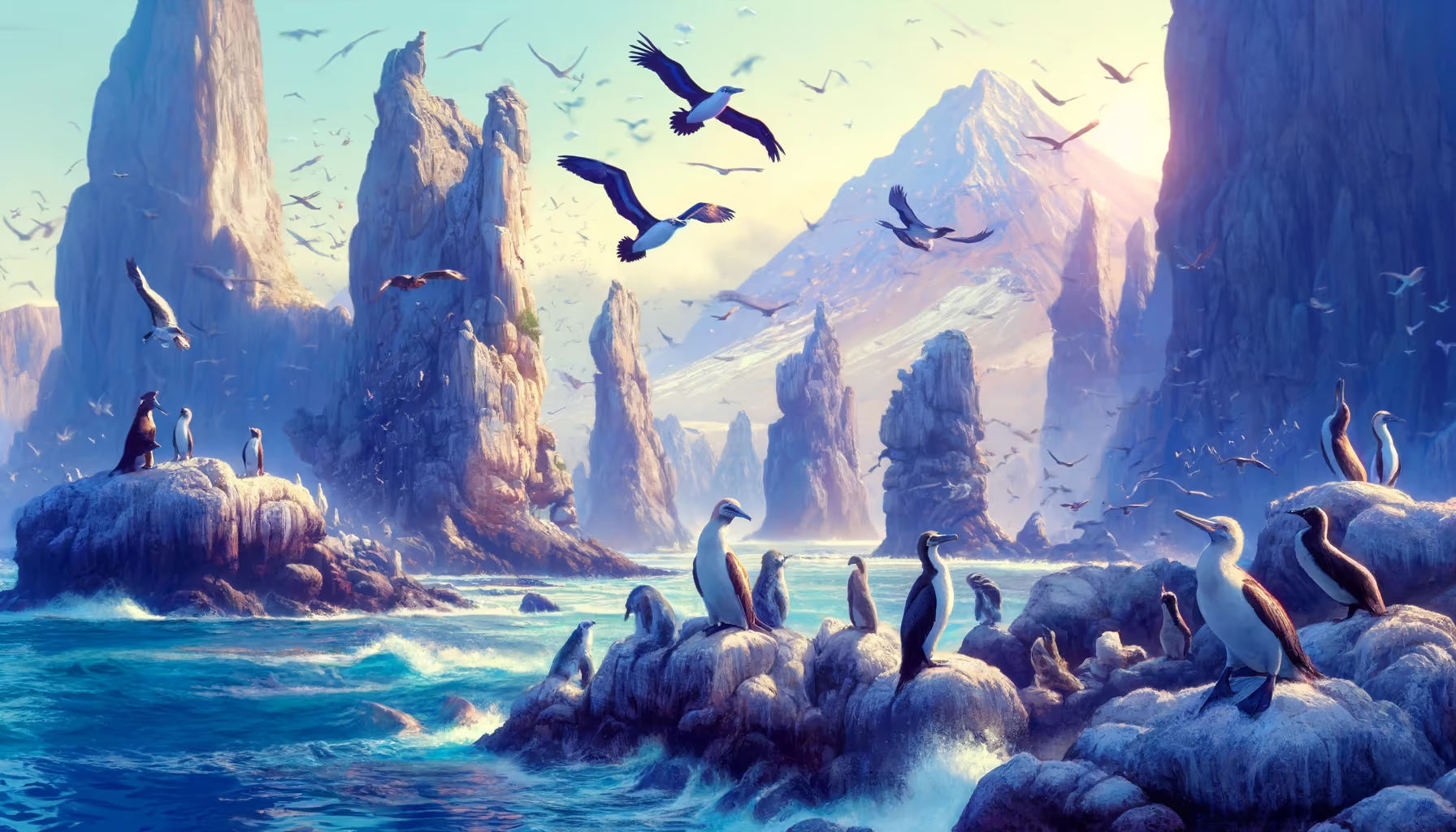
The Ballestas-Paracas zone is one of Peru's most important marine-faunal areas, known for seabird colonies, sea lions, and nutrient-rich coastal waters.

Historically, guano economies linked ecology and state policy, showing how biodiversity can become both wealth and vulnerability if extraction exceeds balance.

Educationally, this page is perfect for teaching systems thinking. Coastal worlds are not empty margins: they are engineered cultural landscapes shaped by currents, dunes, cliffs, wetlands, and community memory.

Research Sources

Mission Trail (Theme + Proximity)

Nearby Sites

Huacachina Oasis

Ica Desert Coast

Sacred Landscapes Southwest
Lima West Coast

Lima Metropolitan Coast

Sacred Landscapes Southwest
Red Beach

Paracas Reserve

Sacred Landscapes Southwest
Peruvian Hairless Dogs

Lima Cultural Coast

Biodiversity Southwest
Huayllay Stone Forest

Pasco Highlands

Andean Engineering Southwest
Stone Giant Garden

Central Highlands

Andean Engineering Southwest

Same Theme Network

Glacier Bear Corridor

Cordillera Blanca

Biodiversity Southwest
Holy Alpacas

Ausangate Highlands

Biodiversity Southeast
Holy Llamas

Cusco-Sacred Valley

Biodiversity Southeast
Mega Fauna Corridor

Andes-Amazon Transition

Biodiversity Southeast
Mighty Condor

Apurimac Canyon

Biodiversity Southeast
Peruvian Hairless Dogs

Lima Cultural Coast

Biodiversity Southwest

Related Atlas Nodes

Peruvian Hairless Dogs

Lima Cultural Coast

Biodiversity Southwest
Glacier Bear Corridor

Cordillera Blanca

Biodiversity Southwest
Mega Fauna Corridor

Andes-Amazon Transition

Biodiversity Southeast
Holy Llamas

Cusco-Sacred Valley

Biodiversity Southeast
Mighty Condor

Apurimac Canyon

Biodiversity Southeast
Spectacled Bear

Cloud Forest Ring

Biodiversity Southeast