Tampu Tocco City

Use this site as an evidence trail into pre-Inka and Inka statecraft, planning, and civic design.

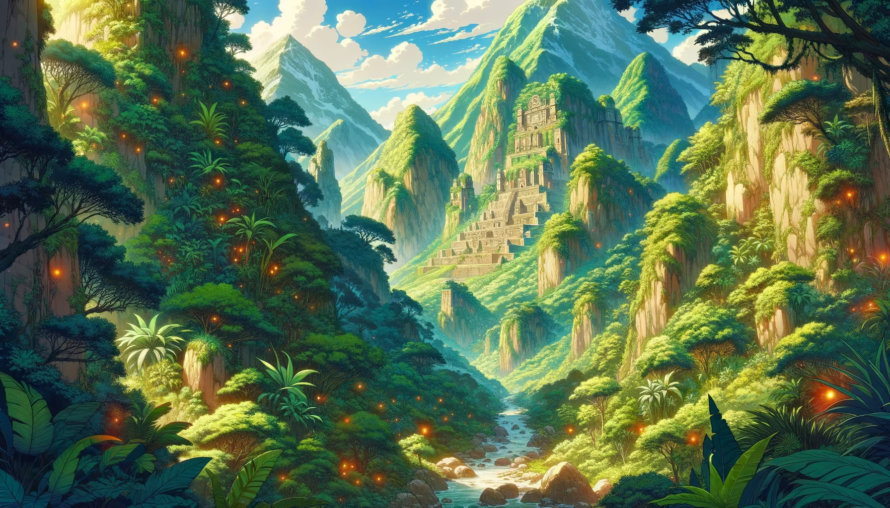
From the house of windows, ancestors stepped into history. In this mission frame, the scene becomes a training ground for courage, memory, and community design. The ruins teach tomorrow.

Archaeology Mythic Origin Corridor Quadrant: Southeast Coordinates: -13.72, -72.08 Altitude: 3900m
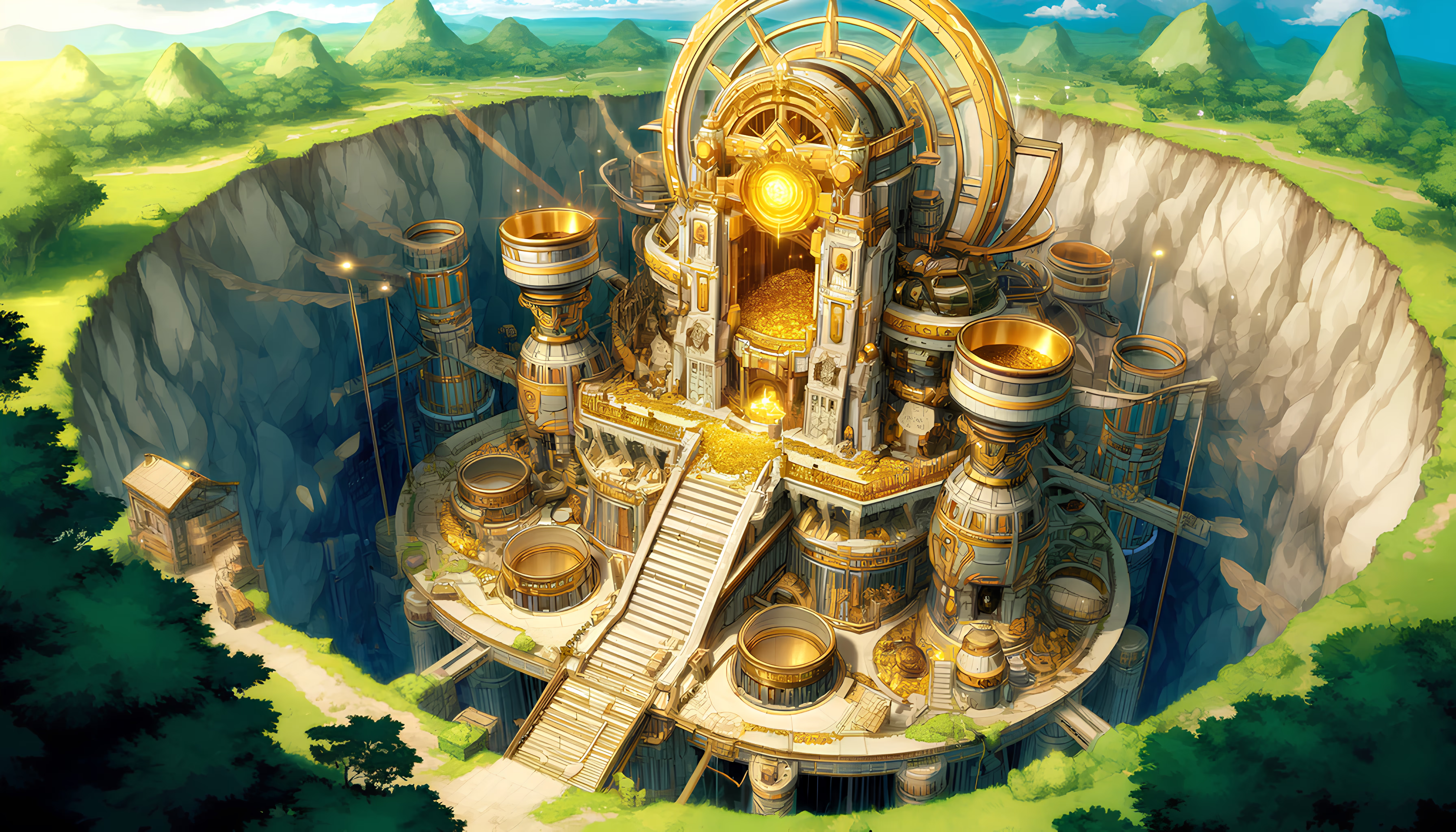
Tampu Tocco City

Site Position in Peru

Use this map to jump into neighboring zones and compare ecological and cultural systems.

ArchaeologyAndean EngineeringSacred LandscapesAmazonian SystemsBiodiversityCosmovision
Qhapaq Nan Corridors River Systems Mountain Bands

Time Lenses

Pre-Inka FoundationsInka Integration

Biome

Dry coast and inter-valley civic zones

Cultural Focus

  • Urban planning memory
  • Ceremonial governance
  • Material engineering

Route Layers

  • Qhapaq Nan Corridors
  • Mountain Bands

Key Moments

  • Pre-Inka Foundations: Early regional societies shape long-term ecological and ceremonial memory.
  • Inka Integration: Imperial-era integration links roads, administration, and reciprocal labor systems.

Use map filters on the atlas index to browse by era, quadrant, and route systems.

Tampu Tocco 10.1: Future Memory Lens for Ancient Peru

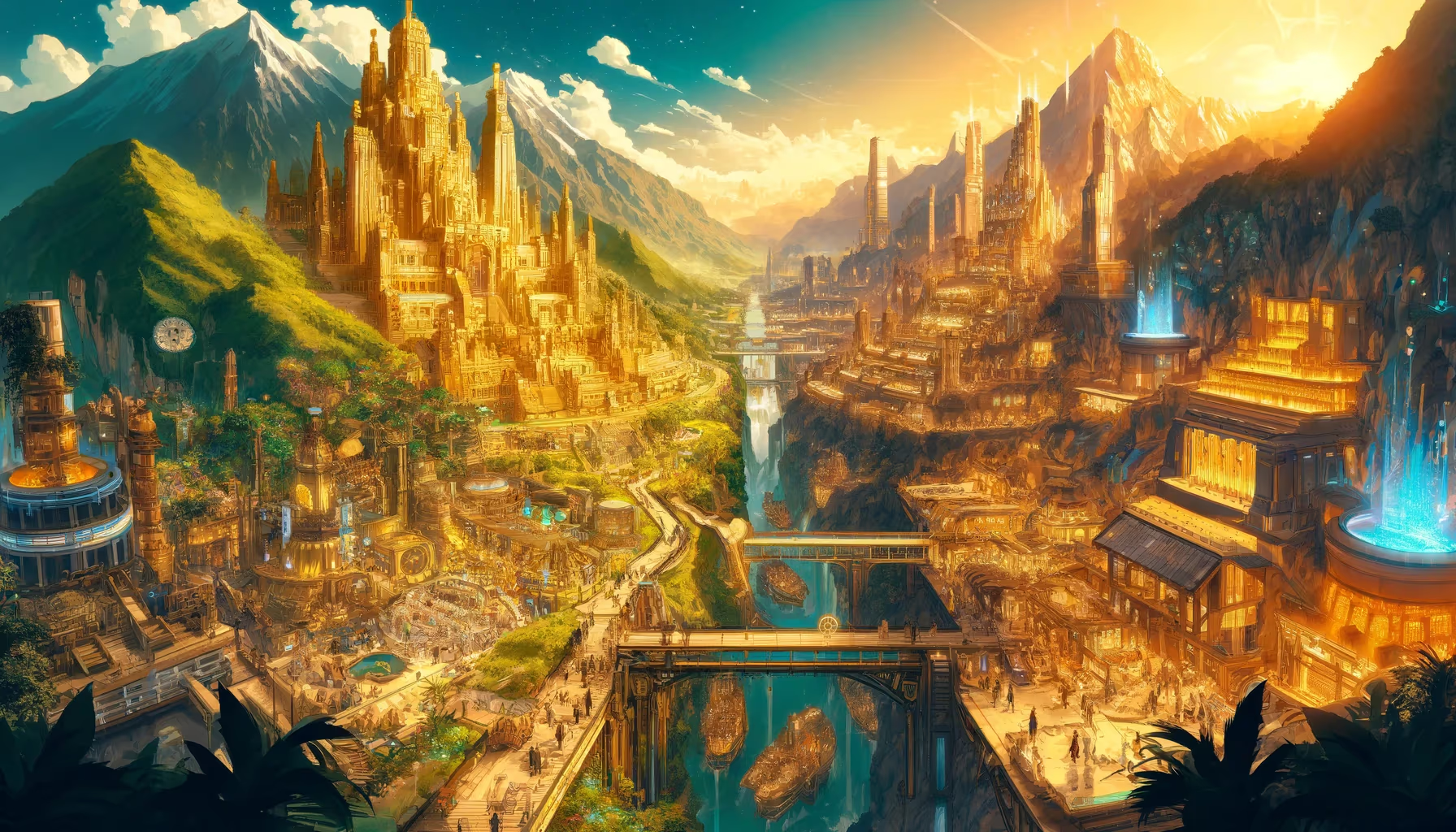
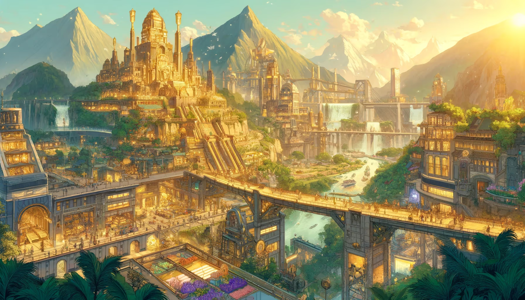
This scene is a strong gateway into ancient Peru because built environments were designed as social technologies, not isolated monuments. In pre-Inka and Inka worlds, architecture, roads, ritual plazas, and storage systems worked together as governance, memory, and ecological adaptation.

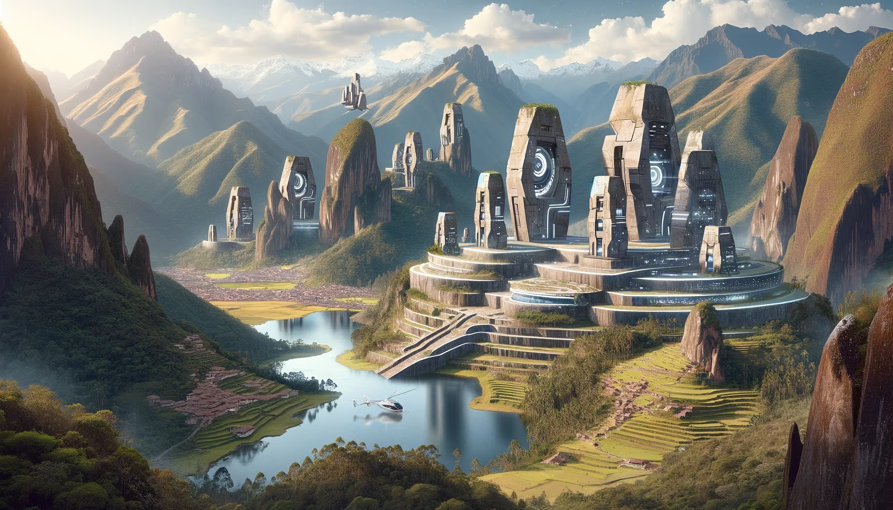
Phase focus: connect ancient planning lessons to future city resilience.

Tampu Tocco (often linked with Pacaritambo traditions) is a foundational Inka origin narrative tied to emergence from sacred openings.

This gives your page a perfect myth-history bridge: origin stories can be read as political memory maps for migration, alliance, and legitimacy.

For education and story design, treat this page as layered evidence: archaeology, oral memory, and living tradition can coexist. That lets visitors move from mythic imagination into real methods of interpretation without losing wonder.

Research Sources

Mission Trail (Theme + Proximity)

Nearby Sites

Uku Pacha Landscape

Inner Valley Caves

Cosmovision Southeast
Uku Pacha Light

Cusco Cave Belts

Cosmovision Southeast
Holy Llamas

Cusco-Sacred Valley

Biodiversity Southeast
Ancient Cusco

Cusco

Archaeology Southeast
Mystic Puma

Cusco Urban Sacred Plan

Cosmovision Southeast
Kay Pacha Landscape

Sacred Valley Basin

Cosmovision Southeast

Same Theme Network

Ancient Cusco

Cusco

Archaeology Southeast
Caral-Supe Pyramids

Norte Chico

Archaeology Southwest
Chan Chan City

La Libertad

Archaeology Northwest
Port Inka

Southern Coastal Route

Archaeology Southeast
Titicaca Ruins Belt

Puno Archaeology Belt

Archaeology Southeast

Related Atlas Nodes

Ancient Cusco

Cusco

Archaeology Southeast
Titicaca Ruins Belt

Puno Archaeology Belt

Archaeology Southeast
Port Inka

Southern Coastal Route

Archaeology Southeast
Caral-Supe Pyramids

Norte Chico

Archaeology Southwest
Apu Chicon Hatun Wiracocha

Sacred Valley

Sacred Landscapes Southeast
Apu Patakancha

Ollantaytambo Highlands

Sacred Landscapes Southeast